forked from 7h0ma5/QLog
-
Notifications
You must be signed in to change notification settings - Fork 21
Online Offline Maps
Ladislav Foldyna edited this page Feb 17, 2023
·
12 revisions
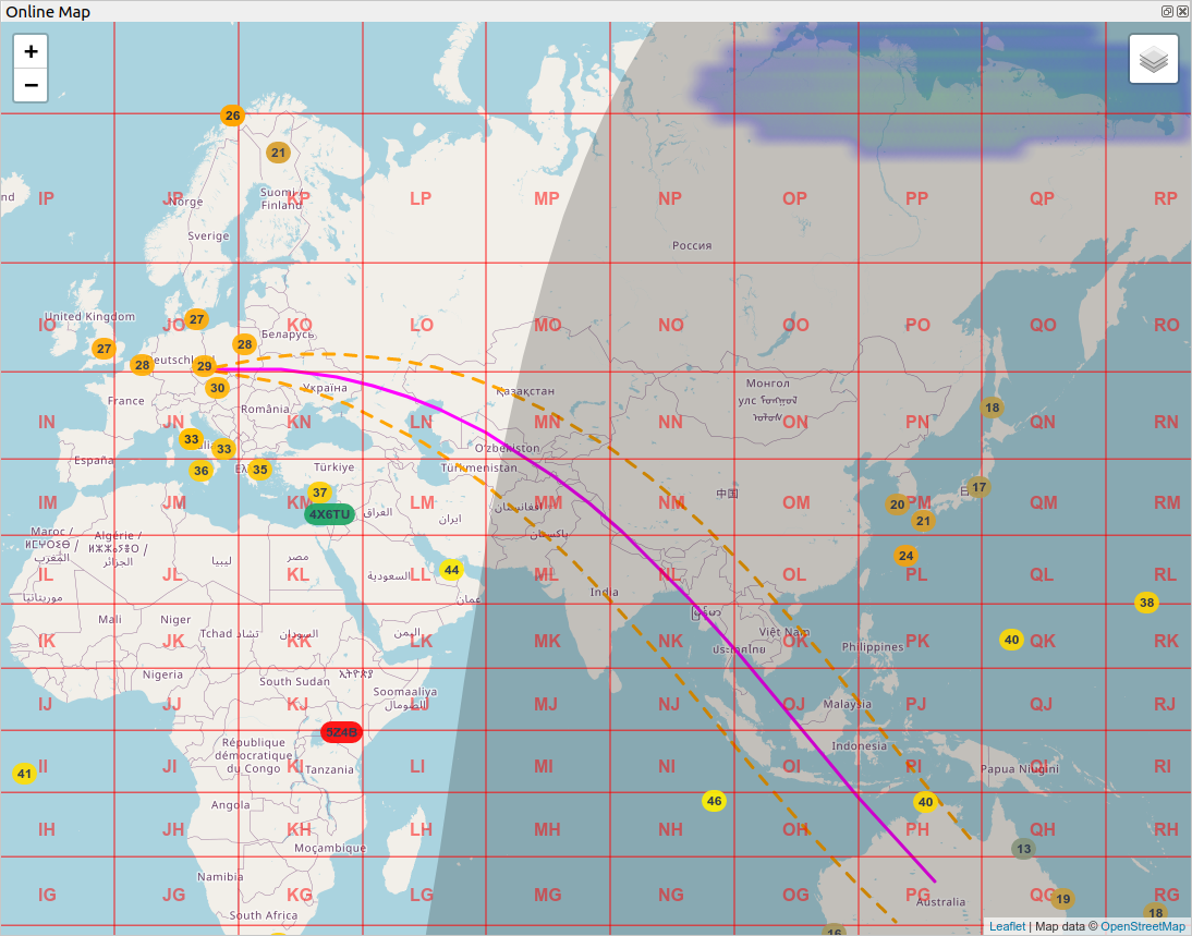
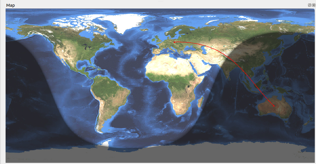
In general, the Online or Offline map show the path to the station, which is entered in the New QSO window.
The user can choose from two possible maps
-
Online - internet connection is required. The maps uses OpenStreetMap service
-
Offline - no internet connection is required.
Both maps display signal path between My Location and DX Location.
Online map can show additional layers:
- Grids
- Gray-line
- Aurora Probability - from the low probability (blue color), through green, yellow and red color with the highest probability.

