[Maps] Dynamic Icons for categorical maps #55204
Description
With the recent addition of categorical palettes for Map documents #54408, we can finally do quantitative mapping without cloning layers. At this moment we allow users to select a given palette or choose a custom color ramp where they can pick up defined colors (also pre-populating the ramp for them #54650).
This feature request is to go a step further in this path, exploring the possibility to allow users to not only select a color but also an icon (marker) to present the document categories to the map consumer with more visual detail.
A couple of examples from other platforms for this workflow below.
I understand we need to maintain simplicity, map symbology can get very complicated (you can see this issue in any GIS desktop tool) and our users are not mainly mapping experts, but this seems still in the basic/medium level of UI complexity.
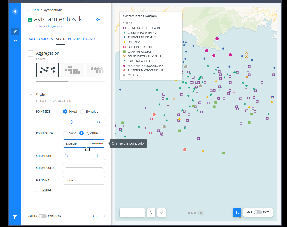
CARTO Builder
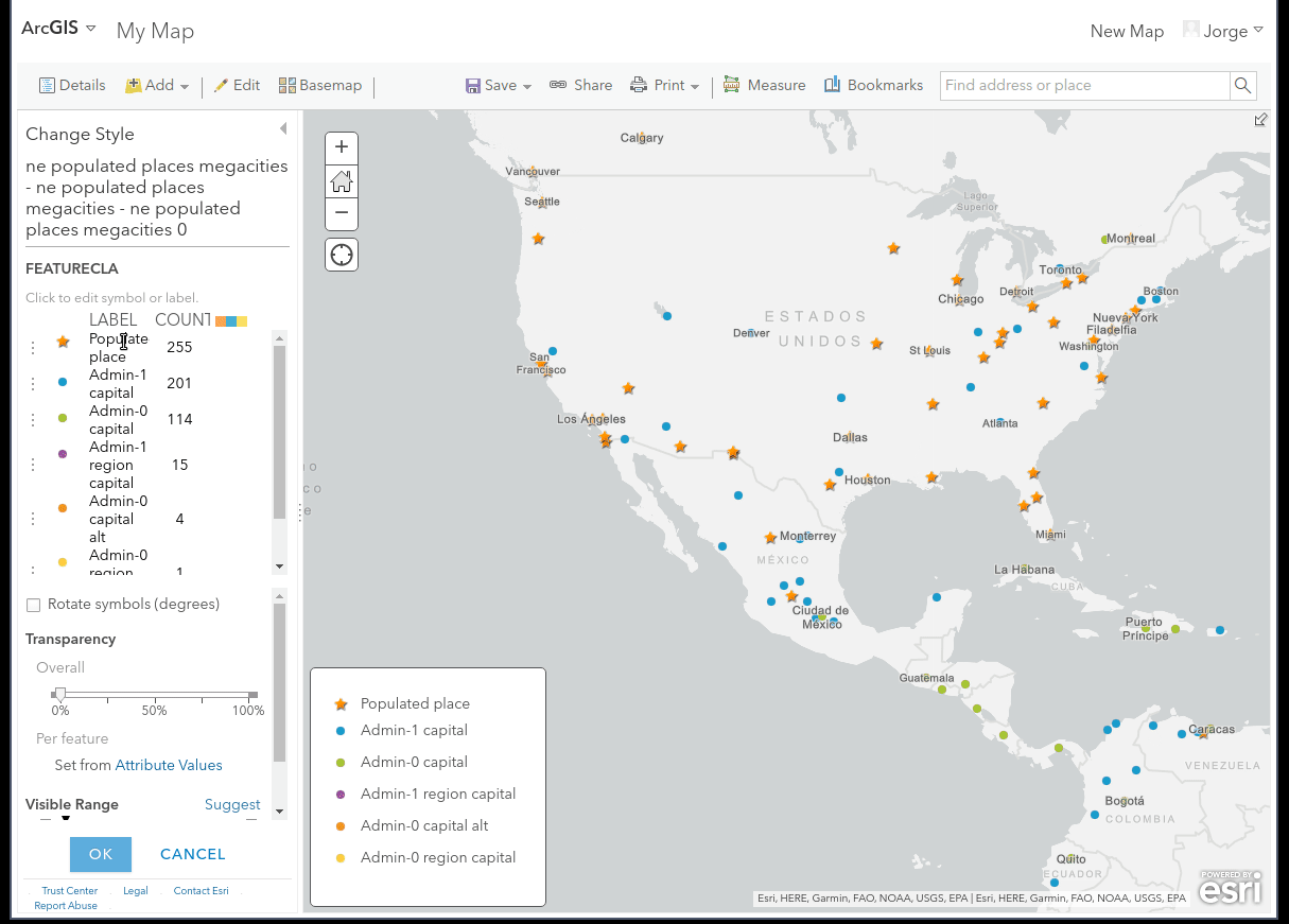
ArcGIS online