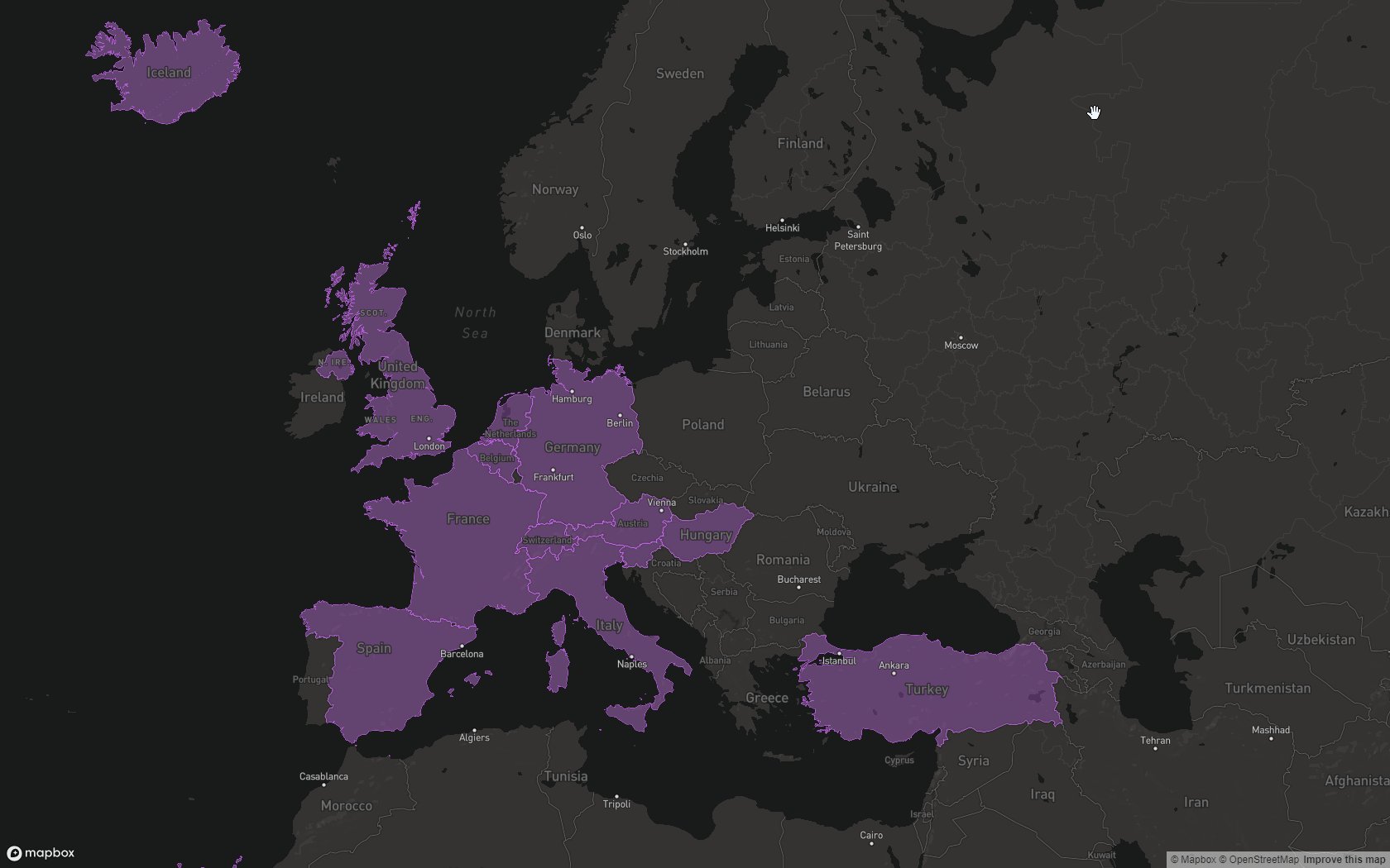
This project implements a scratch map using mapbox in the browser.
To view my scratch map, please follow the link: lewissmallwood.co.uk/scratch-map.
All the logic for displaying this map is within map.js. Country boundaries are defined by the GeoJSON file countries.json. You can set which countries you have visited by modifying the array of countries within visited.json.
Once the map loads, a HTTP request is made to get the country boundaries, and the your visited countries. The boundaries are then filtered based on your visited countries.
Simply add your own API key as explained within the map.js comments, and put all the files onto a web server.
You can either raise an issue, and I may or may not end up working on extra features, or submit a pull request.
This project is licensed under the MIT License - see the LICENSE file for details
- Mapbox is pretty cool.
- Ash Kyd for the countries.json GeoJSON Regions file.
