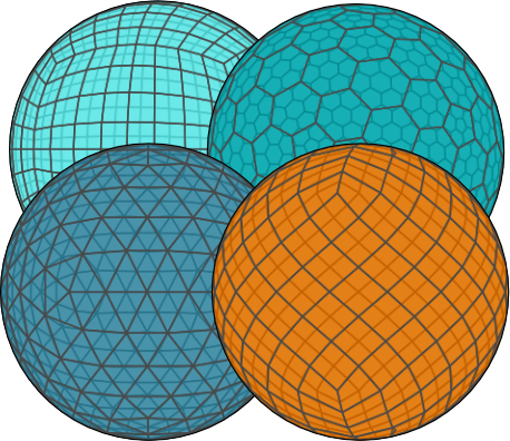
xdggs is an open-source Python package that provides tools for handling geospatial data using Discrete Global Grid Systems (DGGS).
It enables efficient manipulation and analysis of multi-dimensional gridded data within a DGGS framework, supporting spatial data processing, resampling, and aggregation on both global and regional scales.
Inspired by the growing need for scalable geospatial data analysis with DGGS, xdggs is built upon the robust Xarray ecosystem, which simplifies working with labeled multi-dimensional arrays.
As an extension of Xarray, xdggs leverages Xarray's capabilities, including seamless access to formats like NetCDF, Zarr, and parallelization through Dask, to provide a powerful and flexible toolkit for geospatial analysis.
- Seamless Integration with Xarray: Use
xdggsalongside Xarray's powerful tools for managing labeled, multi-dimensional data. - Support for DGGS: Convert geospatial data into DGGS representations, allowing for uniform spatial partitioning of the Earth's surface.
- Spatial Resampling: Resample data on DGGS grids, enabling downscaling or upscaling across multiple resolutions.
- DGGS Aggregation: Perform spatial aggregation of data on DGGS cells.
- Efficient Data Management: Manage large datasets with Xarray's lazy loading, Dask integration, and chunking to optimize performance.
You can find the documentation in https://xdggs.readthedocs.io/en/latest/.
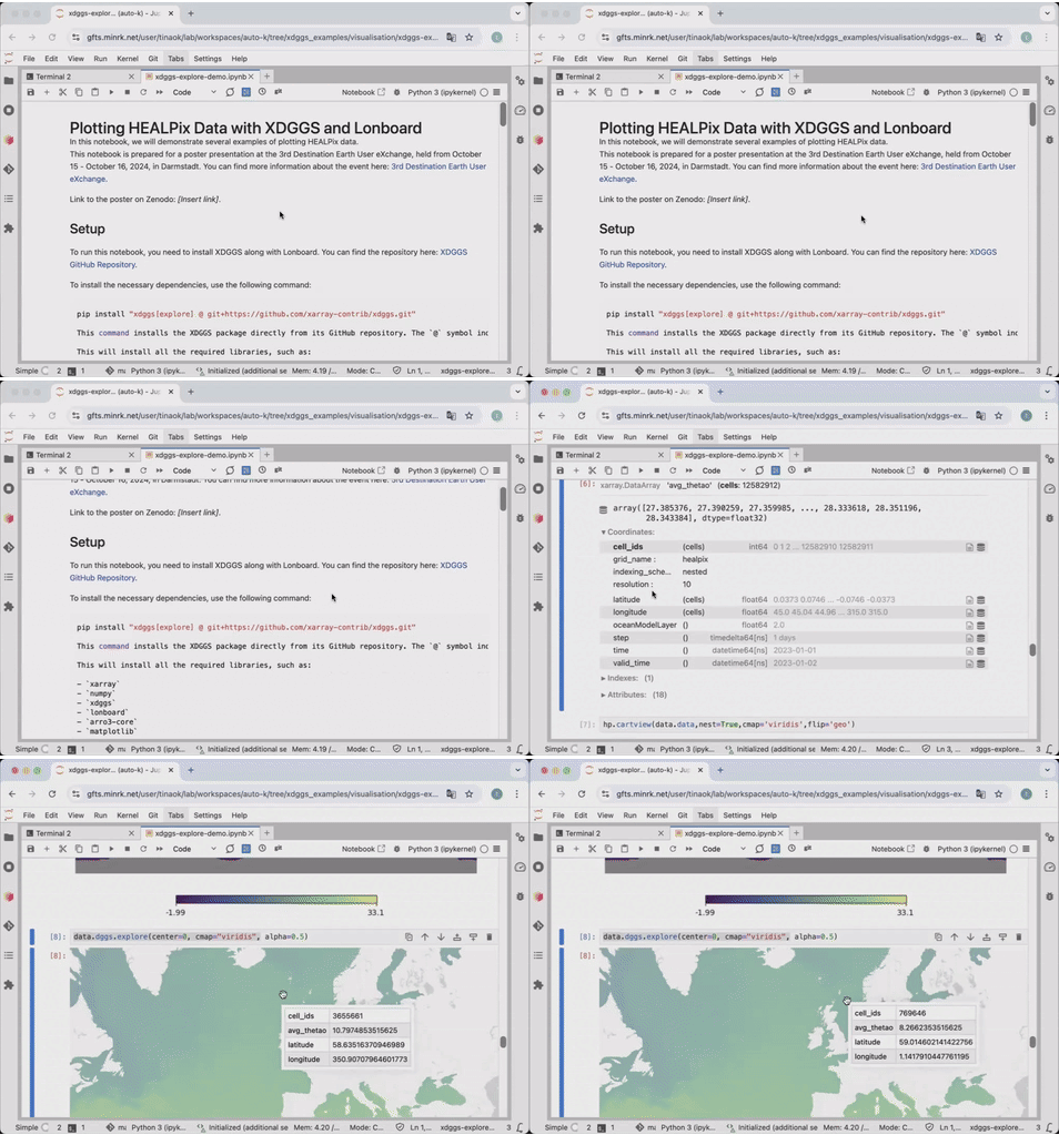
As an example, this is how you would use xdggs to reconstruct geographical coordinates from the cell ids then create an interactive plot indicating cell ids, data values and the associated geographical coordinates:
import xarray as xr
import xdggs

ds = xdggs.tutorial.open_dataset("air_temperature", "h3")

# Decode DGGS coordinates
ds_idx = ds.pipe(xdggs.decode)

# Assign geographical coordinates
ds_idx = ds_idx.dggs.assign_latlon_coords()

# Interactive visualization
ds_idx['air'].isel(time=0).compute().dggs.explore(center=0, cmap="viridis", alpha=0.5)We have exciting plans to expand xdggs with new features and improvements. You can check out our roadmap in the design_doc.md file for details on the design of xdggs, upcoming features, and future enhancements.
We welcome contributions to xdggs! Please follow these steps to get involved:
- Fork the repository.
- Create a new branch (
git checkout -b feature-branch). - Make your changes and write tests.
- Ensure all tests pass (
pytest). - Submit a pull request!
xdggs is licensed under the Apache License License. See LICENSE for more details.
This project was initiated using funding from CNES (PANGEO IAOCEA, contract R&T R-S23/DU-0002-025-01) and the European Union (ERC, WaterSmartLand, 101125476, Interreg-BSR, HyTruck, #C031).


