This was a small project to automatically create a map of all of the teams attending the competition event at my high school. Part of the promotion of the event was to emphasize how big the event was and how people were coming from all over New England. With 40 Teams however this would be a challenge manually.
The map is created in four distinct steps.
- The data on teams coming to the event is downloaded off of TheBlueAlliance in the backend with python. This was an expensive operation that both took a lot of bandwidth on my computer and would take a lot of networking resources if done by the client every page load. Because of this, this step is done only once.
- Team addresses are turned into latitude and longitude coordinates to use in Google Maps. This is done with Google's geocoding service with Maps.
- These two pieces of data are stored together on every team in a generated JavaScript file.
- JavaScript code reads this team data and creates a dynamic Google Map.
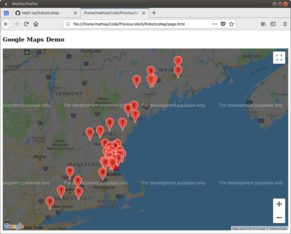
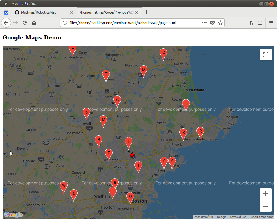
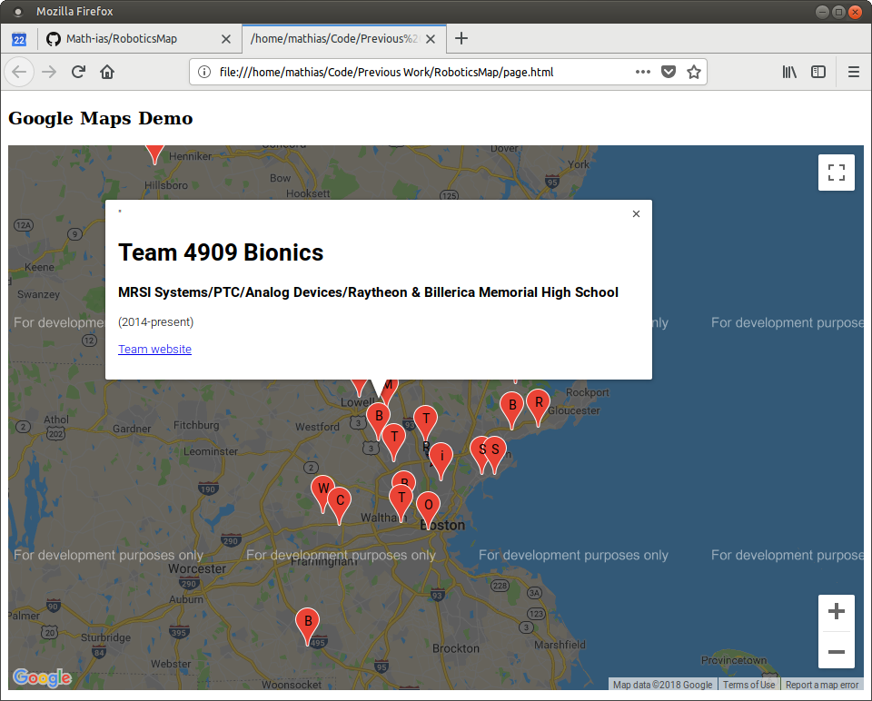
Here are some screenshots that I was able to grab. I don't want to publish my Google Maps application key online so I cannot host a live demo.
The program in the backend with take all of the latitude and longitude
coordinates to determine the total bounding box of all the markers.

The map is interactive and has custom graphics to show where the event is
taking place (the star).

Each of the markers that shows where teams come from also display information
such as their motto, their website, and their dates of establishment.
